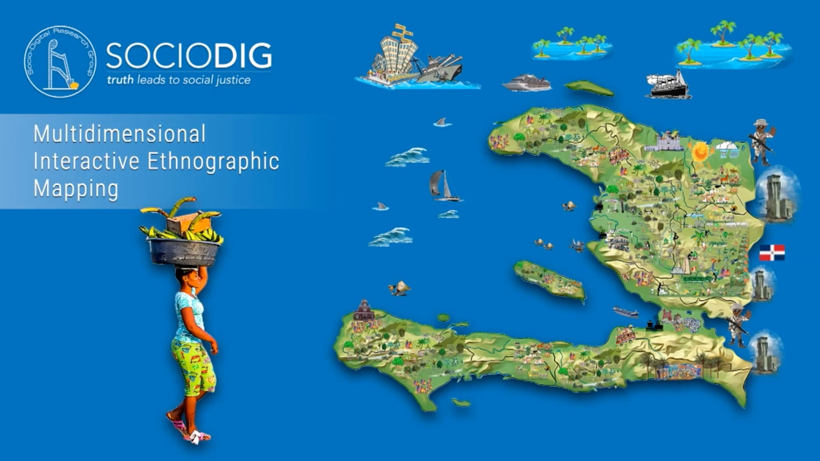
Multidimensional Interactive Ethnographic Mapping

What is MIEM?
MIEM is an interactive and user-friendly Arc-GIS based research map application that creatively presents reports findings and datasets. The concept is simple, yet far reaching. While hundreds, if not thousands of reports, are produced every year by development organizations and Independent researchers alike, they often fail to reach a wide audience.Their linear and one dimensional nature is clearly limiting their outreach potential.
The highly graphic and interactive nature of MIEM, allows the dissemination of a large amount of information and allows the user to interact with the data in ways that promote local context understanding as well as grasping the multidimensional nature of the social, environmental, political and economic reality of Haiti. MIEM also acts as a catalyst for engaging beneficiary populations by identifying and analyzing the resources and constraints of specific value chains which lead to a better understanding of the practical possibilities and limitations for humanitarian intervention
Central Plateau MIEM Mapping Project
Map best viewed in Fullscreen mode.
